Gravel Route
Stage 3
Torrelles de Foix - Sant Sadurní d'Anoia
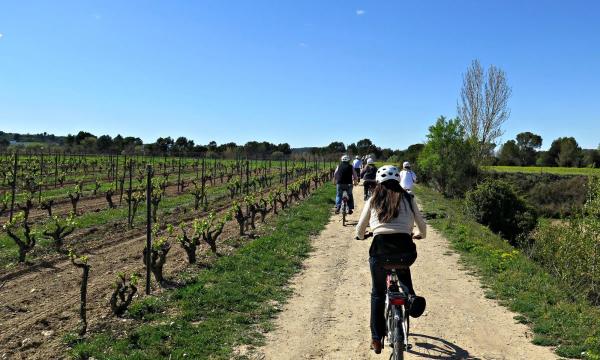
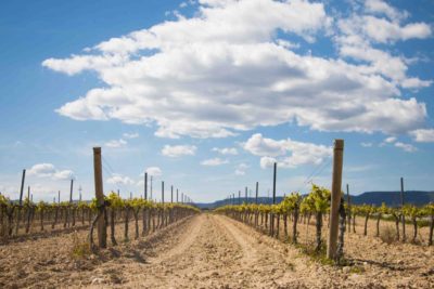
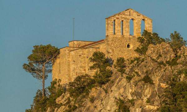
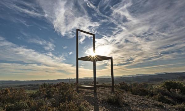
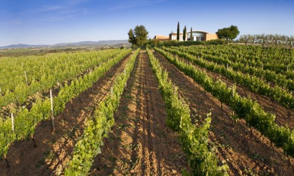
As we start from the highest point of the route, this section has, initially, more parts of descent. And it is also the longest stretch. From Torrelles de Foix to Guardiola de Font-rubí we will basically follow very rolling tracks, and from Guardiola, a quiet road that will take us to Les Casetes d’en Raspall. We return to paths and tracks along the flat part of the Penedès, with wineries here and there and the Miravinya de la Cadira, an interesting observation point for the large expanse of vineyards, up to the height of El Pla del Penedès, where we return to take the road: for a kilometer with a little more traffic and from there quieter, until we deviate by a path that will take us to Can Rossell de la Serra. We will continue along the road to a busier one, where we will have to drive about 600 meters and from where we will take a track overlooking Montserrat that will take us across the Bitlles river, which we will follow thanks to the Camí del Riu. This river path will take us to cross the Anoia by a footbridge, which will give us entrance to the ascent to the Espiells. Without reaching it and with Montserrat even closer, we will go by rolling tracks and way to Sant Joan Samora, the most north-eastern point of the route and remarkable for its chapel. Then, heading south to, after crossing the train tracks, reach Anoia again, which we will follow against the current, along a GR created on the ancient Roman Via Augusta. The Claro fountain, next to the Anoia, should be highlighted at this point.
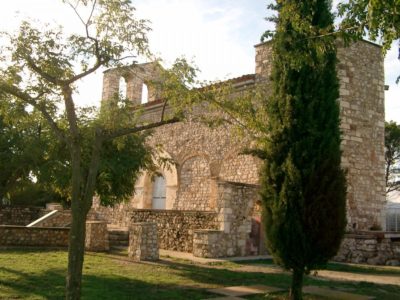
After a stretch of road and good road we will reach Espiells, with its remarkable church and the school of Viticulture and Enology, which we will circle to start descending immediately. After following the Anoia for a while, we will have to cross it. If we don't want to get our feet wet, there are some pillar-like pillars that will allow us to get out of the passage very dry. And from here to Sant Sadurní d’Anoia, all asphalt; that yes, in a constant rise that will ask us to rest energies in the capital of the cava. It is highly recommended to take the opportunity to visit the Cava center, Cava Interpretation Centre.
